- 10 March, 2026
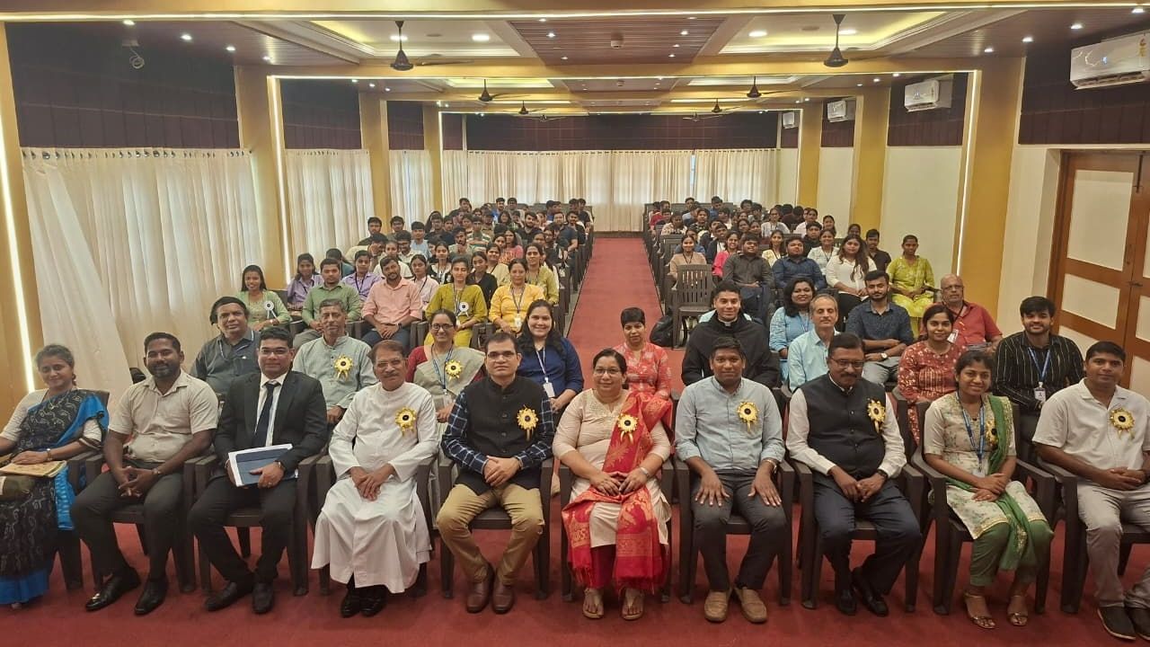
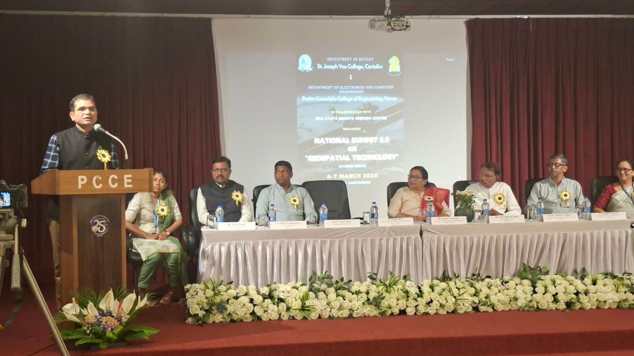
Verna, Goa , March 10, 2026: The expanding role of geospatial technology in governance, environmental planning and sustainable development came into focus at the National Summit on Geospatial 2.0, held at the Padre Conceição College of Engineering (PCCE), Verna, Goa.


The summit was jointly organised by the Department of Botany of St. Joseph Vaz College, Cortalim, and the Department of Electronics and Computer Engineering of PCCE, with support from the Goa State Remote Sensing Centre (GSRSC) under the Goa State Council for Science and Technology (GSCST). The event brought together academicians, researchers, government officials, industry experts and students to explore practical applications of Geographic Information Systems (GIS).
The discussions began with a keynote policy address by Adv. Richard Almeida on “From Special to SPATIAL – Panchayat Raj Act Implications,” where he explained how spatial data can strengthen planning and governance at the Panchayat level by enabling better analysis of land, infrastructure and resources.


Mr. Malcolm Afonso, Founder of Spatialcraft, Goa, presented a framework talk on the Gram Panchayat Spatial Development Plan (GPSDP). He emphasised how geospatial frameworks can assist rural administrations in planning development activities and managing resources more effectively.
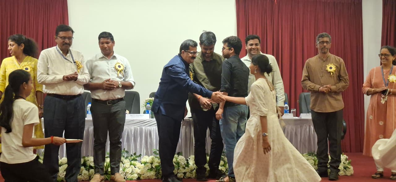
The summit also provided a platform for student innovation through digital poster presentations that showcased creative geospatial use cases. The PCCE team led by Sujal Bandodkar secured the first place, while Ganesh Chari finished as runner-up.
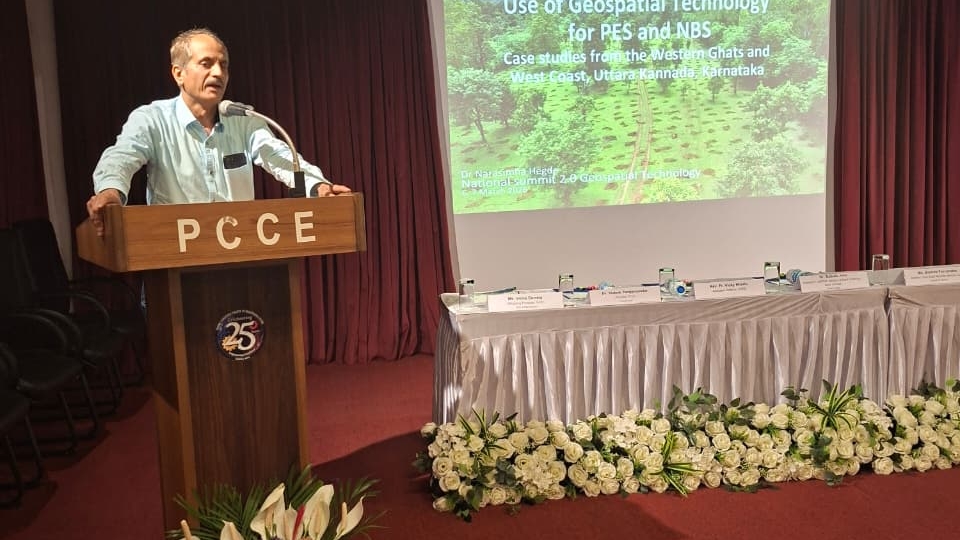
A technical session by Dr. Narasimha Hegde focused on the use of geospatial technology for PES and NBS in the Western Ghats of Karnataka, demonstrating how GIS tools support biodiversity conservation and ecosystem management in sensitive ecological regions.
Government departments also shared their experiences of using GIS in planning and resource management. Officials from the Goa State Biodiversity Board, the Land Records Department and the Forest Department discussed how geospatial technologies assist in mapping resources, monitoring land use and supporting environmental decision-making.
The summit also emphasised practical learning through a workshop on Open-Source GIS for Rural Planning conducted by Dr. Madhura Niphadkar and Mr. Avinash Tavares. Participants were introduced to open-source GIS platforms and learned techniques for data collection, mapping and spatial analysis to address real-life planning challenges.
Participants later worked on practical case studies and team presentations where they analysed spatial problems and proposed solutions using GIS tools. Interactive discussions and video presentations further encouraged knowledge exchange among students and professionals.
A panel discussion titled “The Way Forward for Geospatial Technology in Rural Planning”, moderated by Mr. Malcolm Afonso, examined the future role of GIS in governance, infrastructure planning and environmental management. Experts Dr. Madhura Niphadkar, Mr. Avinash Tavares and Fr. Dr. Bolmax Pereira highlighted how accessible geospatial tools can strengthen citizen participation and data-driven decision-making.
Participants also reflected on their experiences during the summit.
Nathaniel Nunes, a software developer, said:
“As a software developer, I’m usually focused on code and digital experiences. Attending National Summit 2.0 on Geospatial Technology was a refreshing change. The sessions introduced us to open-source GIS and QGIS, showing how maps can highlight connections and insights that everyday users wouldn’t normally think about. It was eye-opening to see how spatial analysis adds meaning to data in ways that go beyond our usual perspective.”
Anezia Barreto, a TY BSc student, appreciated the initiative and said:
“The experts were very resourceful. They made us understand the geospatial concepts and their use in simple ways that we could understand. Hand-on workshop was just wonderful and enjoyable.”
Reflecting on the outcome of the programme, the organising committee emphasised that the summit created a meaningful platform for collaboration and knowledge exchange.
“The two-day National Summit on Geospatial Technology successfully created a platform for knowledge sharing, skill development, and collaboration between academia, government, and industry,” said the convenor Fr. Bolmax Pereira.
Dr. Jayalaximi Devate, the co-convenor, added: “Through keynote talks, technical sessions, workshops, and discussions, participants gained valuable insights into the practical applications of GIS in environmental conservation, rural planning, and governance. The summit reaffirmed the growing importance of geospatial technologies in shaping sustainable and data-driven decision-making for the future.”
By Catholic Connect Reporter
© 2026 CATHOLIC CONNECT POWERED BY ATCONLINE LLP